
GEOPHYSICAL SURVEYS
Refraction seismic or borehole (DH & CH) surveys, seismic ambiental noise misuration. Geoelectric surveys, one-dimensional local seismic response analysis. Georadar to investigate the subsoil.
P/SH WAVES REFRACTION
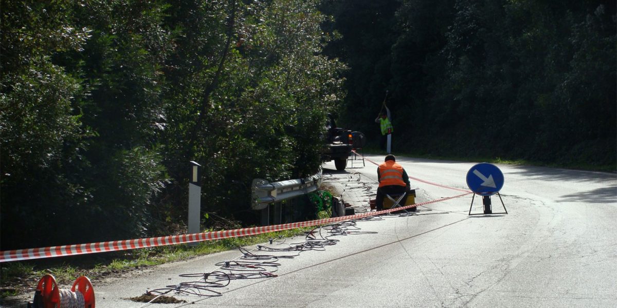
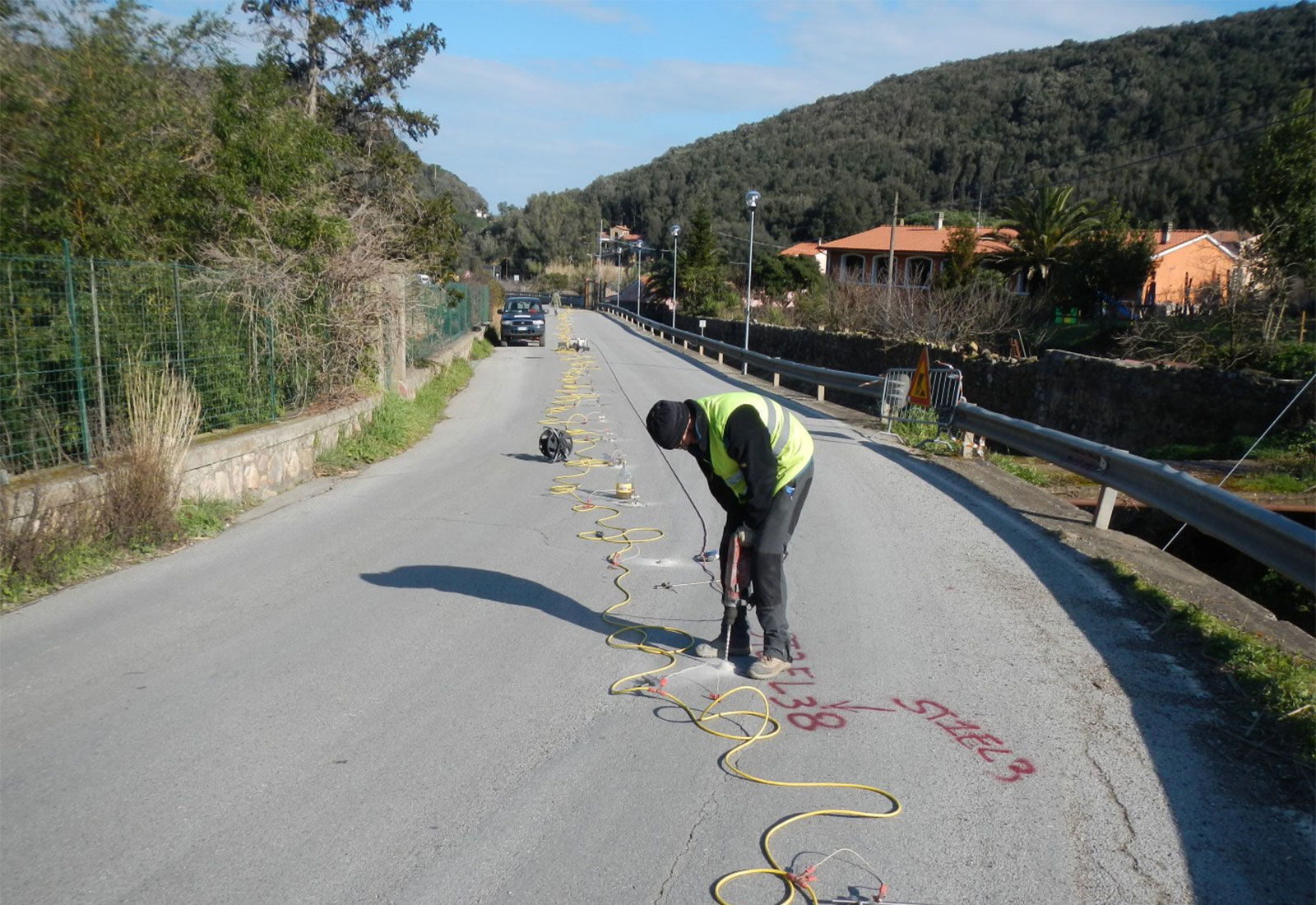
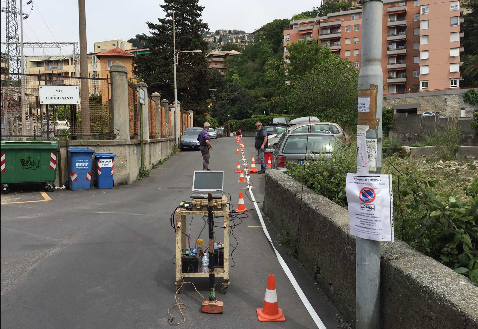
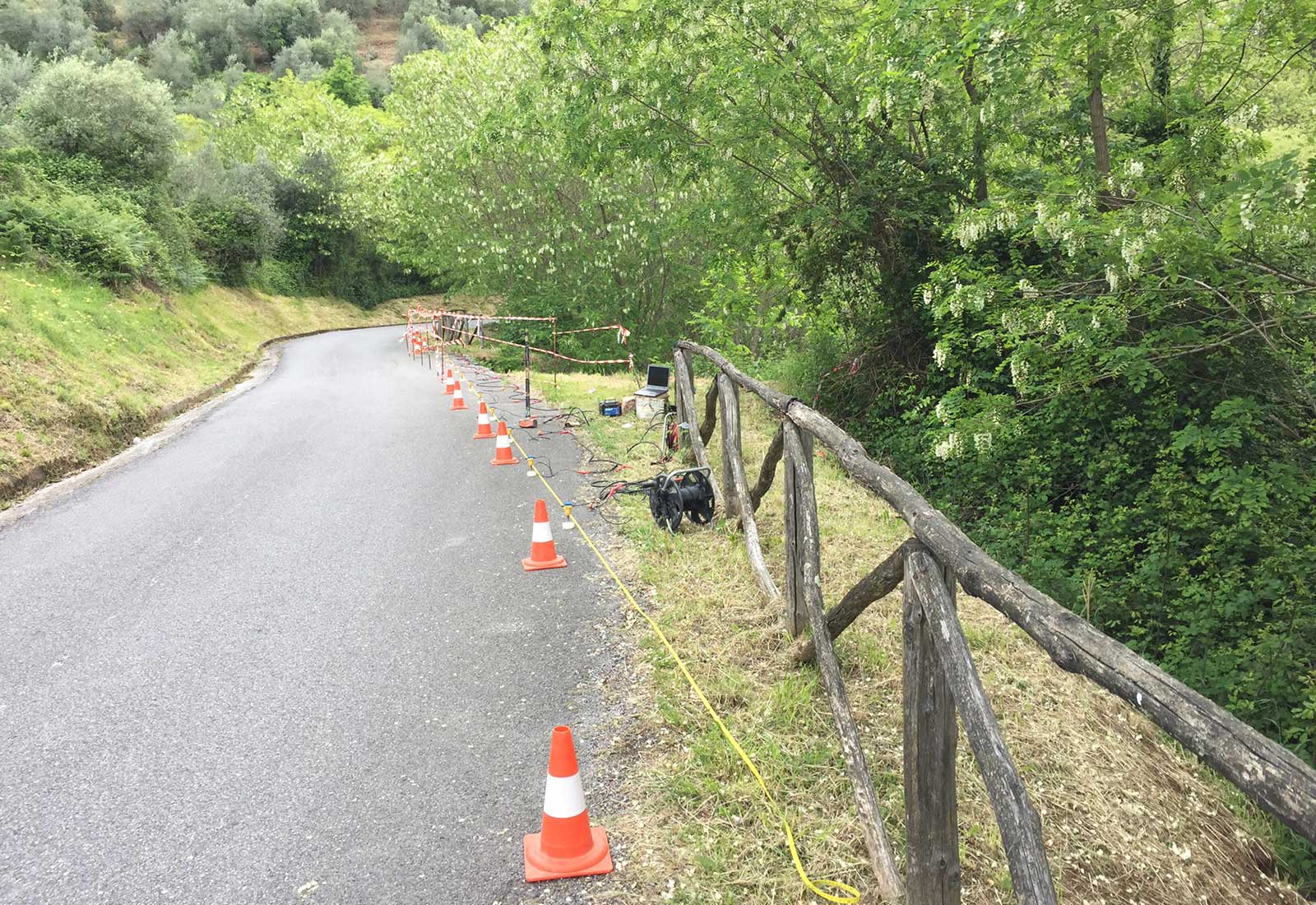
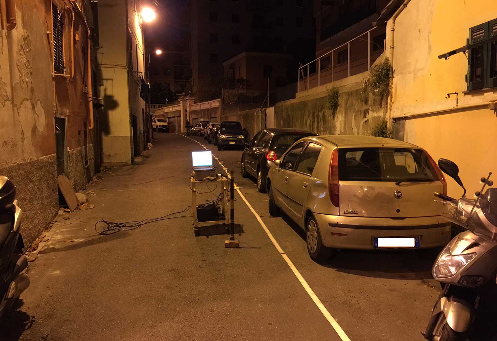
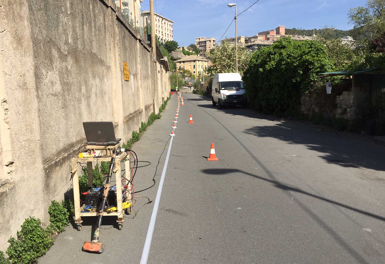
These surveys are processed with both classic (GRM method) and Tomographic technique. The acquisition system consists of a seismograph type AMBROGEO with 24/48 channels and Seismic Arrays of length of 120/240 meters. It’s possible to determine the 2D seismic stratigraphy and the Vs,30 parameter (SH waves).
Software used :
- WINSISM v. 16.1 (W-Geosoft)
- RAYFRACT v. 3.19 (Intelligent Resurces Inc.)
- INTERSISM v. 2.1 (Geo&Soft International)
SEISMIC MASW
R waves (Rayleigh) and/or L (Love) seismic MASW. The acquisition system consists of seismograph type AMBROGEO with 24/48 channels and Seismic arrays of length of 120 meters. It’s possible to determine the 1D seismic stratigraphy and the Vs,30 (Waves R/L) parameter.
DOWN-HOLE (DH) E CROSS-HOLE (CH)
The method refers to the P and SH waves time measurement in the path between the seismic source at the surface and within the receivers of specially crafted boreholes. acquisition system consists of seismograph type AMBROGEO 24/48 channels. The Probe consists of six geophones three-directional. It’s possible to determine the 1D seismic stratigraphy and the Vs,30.
ANALYSIS OF ONE-DIMENSIONAL LOCAL SEISMIC RESPONSE (RSL-1D)
After proper campaign surveys, the Bierregi srl carry out studies of 1D (one-dimensional) local seismic response in order to verify the level of seismic-stratigraphic amplification of the test site. The analysis is carried out in accordance with the NTC 2008 regulation (choice of input earthquakes necessary for the execution of RSL with the requirements of Sec. 3.2.3.6, 7.3.5 and 7.11.3 of NTC 2008) and Tuscany Region (Seismic Risk Sector).
H/V SPECTRAL RATIO (HVSR METHOD) AMBIENT NOISE SEISMIC MEASURES
The outcome of this novel test is an experimental curve that represents the value of the mean ratio of spectral amplitudes of ambient vibrations as a function of the vibration frequency. The frequencies, at which the H/V curve shows the maximum, are related to the resonance frequencies of the soil below the measuring point. This technique is increasingly used in geotechnical/engineering field to derive the fundamental F0 resonance frequency of the subsoil, the fundamental resonance frequency of building and the relative ways of vibration modes (vibrometric measures). For the acquisition of microtremor is used a triaxial tromograph type SR04HS (Geobox) of Sara Instruments of Perugia (Italy), with sensors frequency of 2.0 Hz.
GEOELECTRIC (ERT)
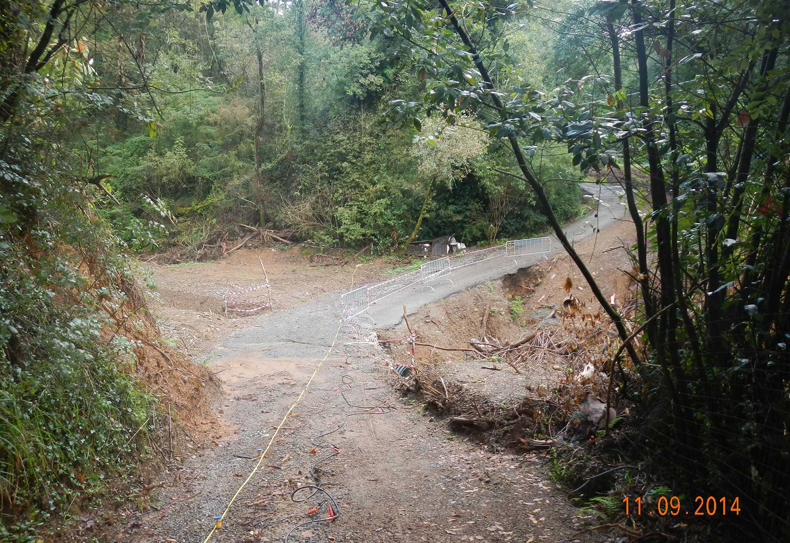
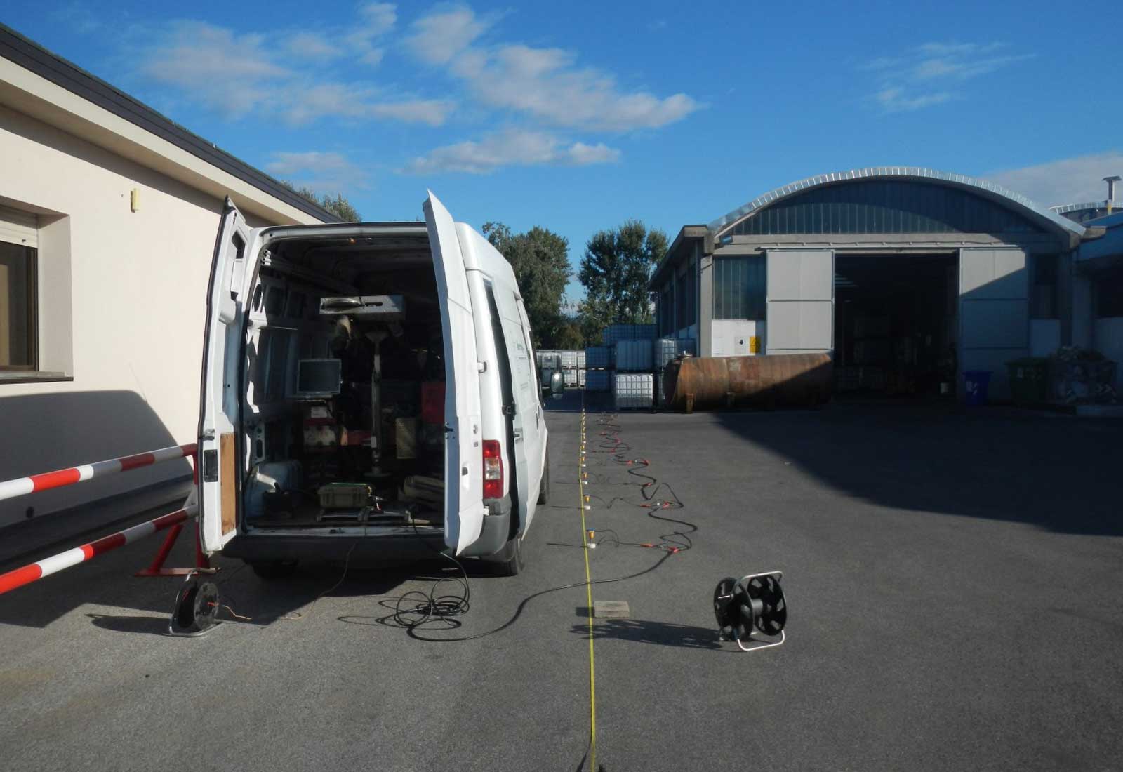
The geoelectric is a geophysical method to characterize the subsurface using as parameter the ground electrical resistivity. Resistivity is a physical quantity of rocks and soils, measured in ohms per meter and indicates the intercepted resistance by the electrical current introduced into the ground crossing rock formation or soil type. The obtained resistivity profile (2D and/or 3D) is used to highlight lateral variations of resistivity and define the responsible structures for such changes. The used equipment consists of a georesistivity meter Ambrogeo type Mangusta TMG 225E of Piacenza (Italy) with 48 electrodes. The field acquired data are then processed in the office via the Geotomo International RES2DINV professional software.
GEORADAR (GPR)
This geophysical methodology allows to investigate the structure and composition of the subsoil through the reflections analysis of high-frequency electromagnetic waves transmitted into the ground. This is, in general, a technique that allows the detection, with a non-destructively and non-invasively method, the presence and the location of buried objects and important cavities and anomalies using the phenomenon of electromagnetic waves reflection.